Hannah’s Ferry
Directions from Mark Lawrence: This ferry is located on the Ginger Rogers Place between Shady Cove and Highway 238. The best way to see this ferry site on private land is by boat on the left side as one drifts downstream from Shady Cove.
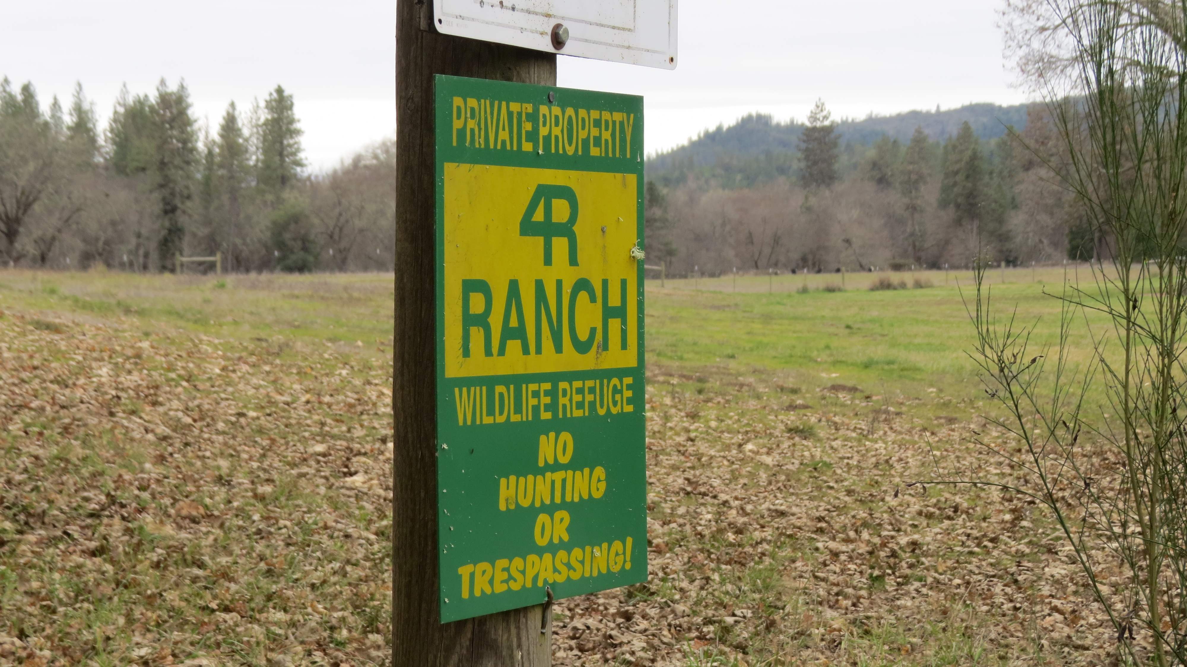
From Peter and Linda: As of August 2015, we have not been able to get the see this marker or get its G.P.S. Coordinates since it is on private land – the current 4R Ranch owned by John McCaw who lives in Seattle. But we have received a copy of an email from Judi Boyd with a photo of the marker. We have been told that Judi’s mother, Vera Hannah is 101 and still lives on family land nearby. We hope to know more soon.
In early February of 2020, we received a message from Rick W. Rohrbough of Medford that there was a ferry marker on the Rogue River near Betts Hole. Using Google Earth, we located Betts Hole and in driving roads in the area we met Phil Shugart, who owns property on the river. He told us it was all right to walk along the river bank to find the ferry marker. We did this, and found the marker, which turned out to be for the Hannah Ferry. The sign nearby said no trespassing, so we will not give directions, but the marker can easily be seen from the river. Anyone interested should contact the owner of the 4R Ranch for permission to visit. To view the marker from the river, the GPS coordinates will be helpful:
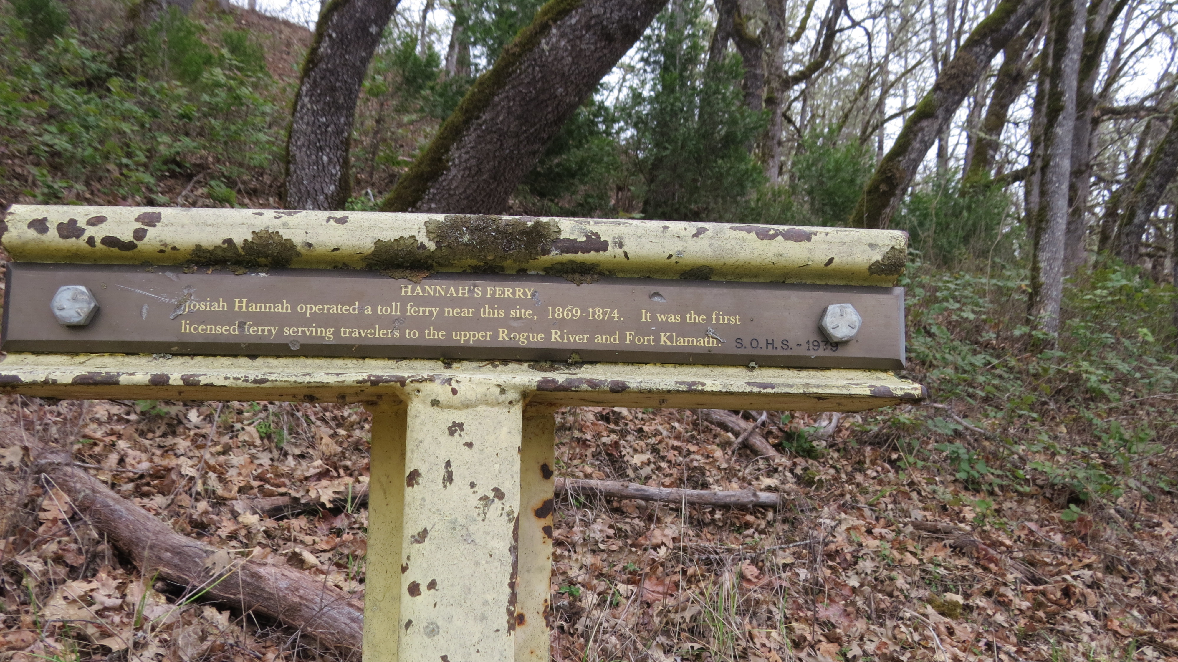
The inscription on the marker reads:
HANNAH’S FERRY
Josiah Hannah operated a toll ferry near this site, 1869-1874. It was the first licensed ferry serving travelers to the upper Rogue River and Fort Klamath.
Information from Mark Lawrence: J. C, Hannah applied to the County Commissioners to keep a ferry across Rogue River at the Raimey Place in June 1869. This ferry continued in operation until about July, 1874. A search of the records failed to reveal any further use in 1874, 1875 or 1876. It is believed that it was replaced by another ferry.